Trier University consists of Campus I (main campus) and Campus II.
Both campuses are connected via a footpath. The walk takes about 15 minutes.
Directions to Campus I
Travelling by city bus (from the city centre)
From the main train station (Hauptbahnhof)
- Route 3 (towards Filsch / L.-Erhard-Ring): weekdays every 15 minutes, bus stop Universität
- Route 13 (towards Weidengraben): weekdays every 15 minutes, bus stop Universität
- Route 83/88 (towards Tarforst): early mornings, evenings and weekends every half an hour, bus stop Universität
- Route 230 (towards Kell): weekdays every hour, bus stop Universität
- Route 31 (towards Pluwig / Bonerath): every half an hour, bus stop Universität Süd
- Route 81 (towards Tarforst): early mornings, evenings and weekends every half an hour, bus stop Universität Süd
From Porta Nigra / Karl-Marx-Haus / Kaiserthermen
- Route 6 (towards Tarforst): weekdays every twenty minutes, bus stop Universität Süd
From Porta Nigra / Petrisberg neighbourhood / Campus II
- Route 4 (towards Irsch): weekdays every half an hour, bus stop Universität / Universität Hauptgebäude
- Route 14 (towards Uni Mensa): weekdays every half an hour, bus stop Universität Parkplatz or Universität Mensa
See local transport websites for detailed bus schedules.
Directions by car
- From any of the main routes to Trier, follow the signs to the university.
- On Campus I you can use the free parking:
- Besucherparkplätze Ost (visitor parking lot east) — recommended for buildings A, B, C, V, DM, N and P, Audimax/Mensa, Studihaus, library and laboratory building.
- Besucherparkplätze West (visitor parking lot west) — recommended for Audimax/Mensa, library, buildings D, E and N.
- For route planners or sat navs, please use this address: Universitätsring.
Directions by bicycle (from the city centre)
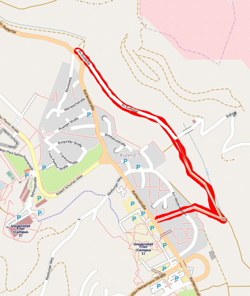
- There is a beautiful and peaceful bike path through the Avelertal.
- The Kleeburger Weg is a good route for bikes, as the grade is not very steep and there is not much traffic.
Contact: info@uni-trier.de